



Trail route: 42 km Bélier Marathon

-
Route de l'Eglise74220 La Clusaz
- 04 50 32 65 00
- French
The pitch
The new 42 km format of Le Bélier offers a superb maratrail experience with a flowing course through the stunning landscapes of the Aravis mountain range.
Details
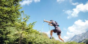
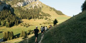
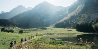
From the very first kilometers, the 42 km course of Le Bélier immerses runners in the breathtaking landscapes of the Aravis mountain range. Between forest trails, open alpine pastures and panoramic ridgelines, this maratrail format offers a full immersion into the mountain world of the Bélier.
The route features a generally smooth and steady profile, ideal for managing effort and finding a sustainable rhythm over the long distance, while still including a few solid climbs that break the pace and challenge the legs. The descents, sometimes more technical, require focus and commitment, adding rhythm and character to the overall course.
Along the way, runners cross several iconic peaks around the village of La Clusaz, such as the Tête du Danay, the Crêt du Loup, and the Pointe de Beauregard, offering remarkable views over the Aravis and naturally structuring the effort.
This 42 km race is therefore an excellent first experience at maratrail distance: an accessible yet varied course combining flowing sections, more demanding passages, and a strong sense of mountain discovery.
Opening
| Monday | Open |
|---|---|
| Tuesday | Open |
| Wednesday | Open |
| Thursday | Open |
| Friday | Open |
| Saturday | Open |
| Sunday | Open |
From spring to autumn, depending on snow and trail conditions, and under your own responsibility. Contact the Tourist Office for details.
Rates
Free access.
Practical Information
Parking nearby
Dogs must be kept on a leash at all times.
- Level black - very hard
- For experts / practiced
- For athletes