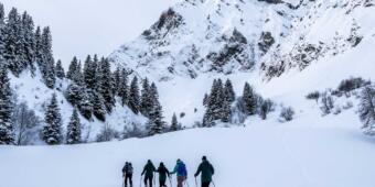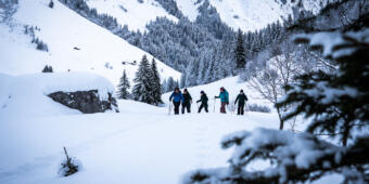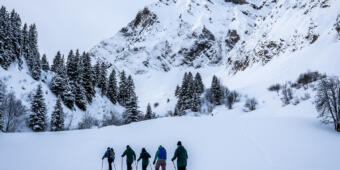
Discover the forests, the snowy mountain pastures and the superb panoramas of the Aravis, thanks to the 30 kms of groomed trails in La Clusaz and the 95 kms of marked snowshoe trails in the Aravis Massif.
On a sunny day, you can admire the Mont Blanc from the Plateau de Beauregard, or enjoy the 360° panorama of the Aravis from the Tête du Danay ! From easy family hikes to full day outings, there is something for everyone.
The trails are freely accessible. The map of the circuits is on sale (3€)*, or simply available for consultation, at the Tourist Office. You can also buy it on line on our online store (secured payment). However, do not hesitate to visit us at the Office: our tour advisors will be able to give you all the necessary information if needed.
*Subject to availability.
application Lac annecy aravis outdoor
Located near Annecy, between lake and mountains, this app is your perfect companion for all your outdoor activities. Search for routes based on your preferred distance or elevation gain, download GPX tracks, and navigate with confidence using offline maps and detailed IGN topographic maps.
Even without an Internet connection, all information remains accessible, ensuring reliable guidance throughout your outing.
Whether you enjoy hiking, trail running, or family walks, the app accompanies you everywhere, even in areas without network coverage. It also provides information on trail conditions and local environmental considerations, encouraging a respectful approach to mountain activities.
A comprehensive tool designed to help you enjoy nature with complete freedom while preserving the landscapes and natural environments that make our mountains so special.
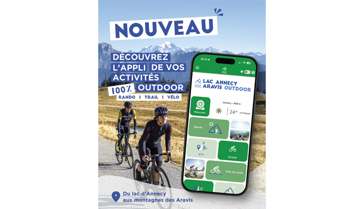
In summary, the Lac Annecy Aravis Outdoor app includes:
- 150 hiking routes
- More than 15 trail-running routes
- 70 mountain biking routes (cross-country, enduro and downhill)
- 2 bike parks
- 40 road cycling and sport cycling routes
- 4 gravel routes
- 15 mountain passes to conquer
![]()
![]()